
Ever since turn-by-turn directions became available for free with Android 2.0 and the launch of the Motorola DROID in 2009, many drivers use Google Maps, Apple Maps, or third-party apps (some of which do charge) to safely and quickly get from point “A” to point “B.” The problem is that we follow these directions without thinking about how accurate they might be.
GPS platform leads 47-year-old man to drive over a bridge that had been washed out for nine years
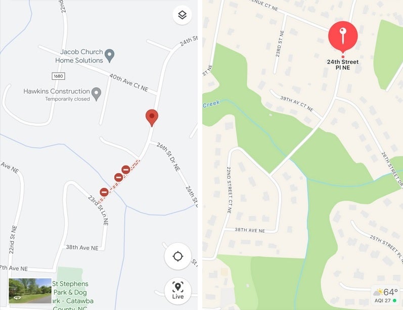
Google Maps (L), Apple Maps (R) of the area where the accident occurred
What you can do to avoid a similar situation
Even though the report notes that the police responded to reports of an overturned car in a creek off of a private road, the point is that the GPS platform he was using took Paxson to that location. As another one of Paxson’s relatives said, “He didn’t fall off a bridge. He didn’t drive off a bridge. He drove to his death through that 20 [foot] ravine.”
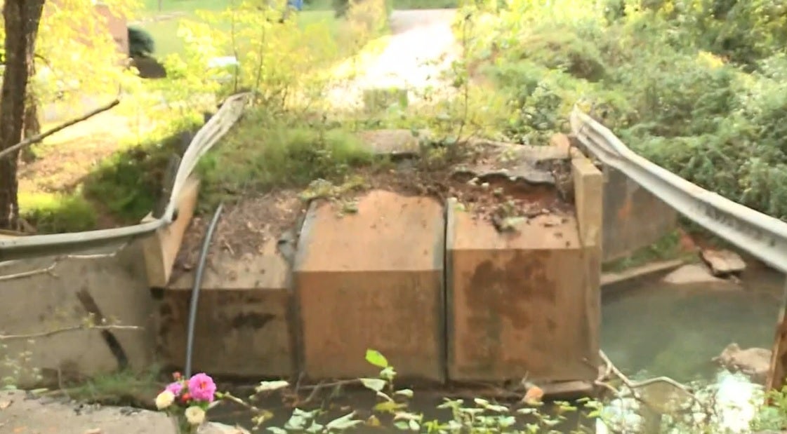
Image of the bridge taken from WCNC News
There is a lesson to be learned here, but it is hard to adhere to. If you plan on driving in an area that you might not be familiar with, especially at night, you might want to call the police near your destination and ask if there are any bridges out along the route. While this might have been an extremely rare situation, you don’t want to suddenly realize that you’ve driven on a bridge that is no longer active.
And there are plenty of institutions that deserve to be blamed here. Even if it was on a private road, there should have been signs or barricades to prevent any vehicles from getting near the bridge. And the report doesn’t mention which GPS platform was involved in this accident, but regardless of who was responsible for the faulty navigation, you can’t escape the fact that it was nighttime, visibility was impacted by the rain, and the driver was led to the bridge by the GPS platform he used.
This is something that might have easily happened to any one of us.